
Projects
Why river and bridge projects need integrated survey planning
May 2026
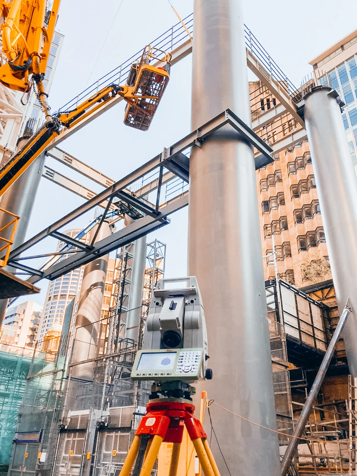
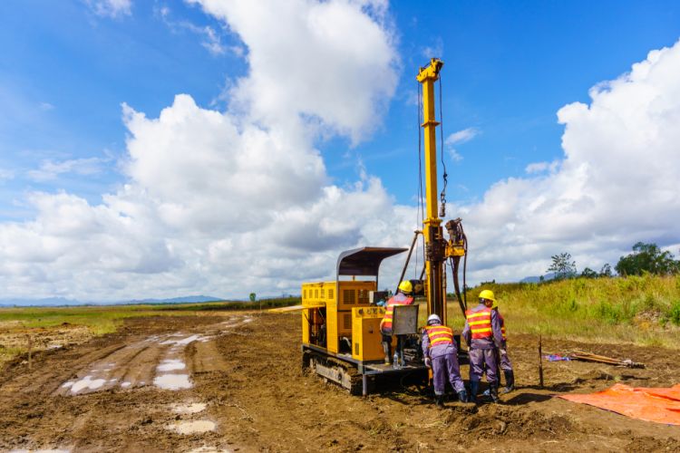
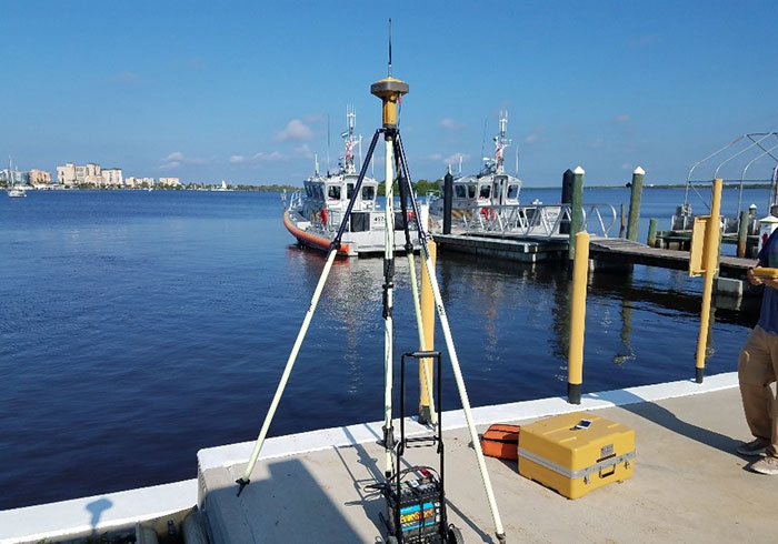
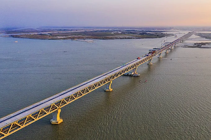
Padma Bridge-scale assignments depend on coordinated control, hydrography, geotechnical investigation and digital reporting long before construction reaches the river corridor.