
To deliver dependable survey, hydrographic, geotechnical and technical consulting services that help clients plan, design and execute infrastructure with clarity and confidence.

About Us
Engineering survey and investigation experts since 1997.
SURVEY2000 is a Bangladesh-based multidisciplinary technical services company delivering engineering survey, hydrography, geotechnical investigation and consultancy support for nationally important infrastructure projects.
Company Overview
A technical delivery partner for land, river, marine and subsurface decision-making.
SURVEY2000 is an established Bangladeshi firm providing topographical survey, hydrographic survey, geotechnical investigation and related consulting services. Operating since 1997, the company supports public and private sector infrastructure across transport, water resources, ports, bridges, railways, power, energy and industrial development.
Its capability combines experienced field teams, computer-aided mapping and reporting, modern Leica and Trimble survey systems, hydrographic instrumentation and a broad ground investigation setup. Assignments range from nationwide corridor and site surveys to river, coastal and offshore work, allowing clients to receive integrated field data, engineering insight and clear digital deliverables from one source.
Nationwide and Offshore Reach
SURVEY2000 supports work across Bangladesh and in offshore or marine environments where positioning accuracy, hydrographic intelligence and dependable reporting matter to design and delivery.
Service Base
Engineering survey, hydrography, geotechnical investigation and consultancy-led GIS and reporting workflows.
Sectors Served
Roads, bridges, rail, water resources, ports, power, energy, industrial sites and wider infrastructure development.
Technical Delivery
Computer-aided mapping, GIS, CAD, analysis and report generation support structured decisions from field to office.
Operating Model
Integrated field teams and office specialists coordinate control, investigation, interpretation and final data submission.
To remain a trusted Bangladeshi technical brand for precision field intelligence, modern equipment-led delivery and multidisciplinary support across land, river, marine and industrial projects.
Why Choose SURVEY2000
Credibility built through field capability, disciplined reporting and infrastructure experience.
Experienced Team
Surveyors, geotechnical engineers, engineering geologists and GIS professionals work together across field acquisition, analysis and reporting.
Advanced Equipment
Modern RTK GNSS, Leica and Trimble systems, hydrographic instruments, investigation rigs and digital processing tools support reliable delivery.
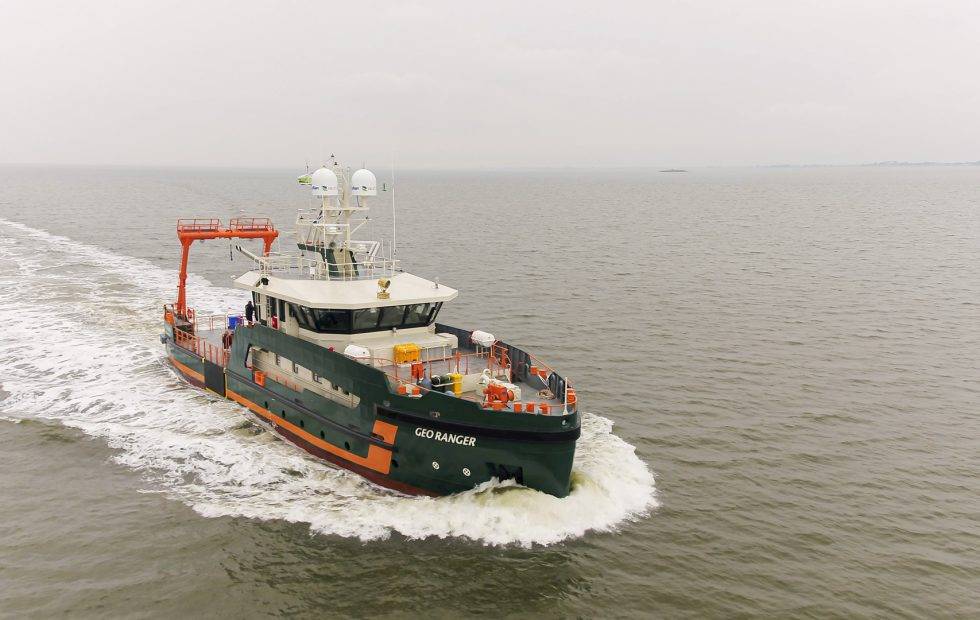
Marine & Offshore Capability
Hydrographic, marine route, bathymetric and seabed investigation capability extends SURVEY2000 beyond land-based survey assignments.
Accurate Data & Reporting
Computer-aided mapping, analysis, CAD, GIS and structured reporting help clients act on field information with confidence.
International Project Experience
The company has delivered for Bangladesh public agencies, donor-backed programmes and international consultants, EPC contractors and industrial groups.
Company Statistics
A concise view of SURVEY2000's operating scale.
Based on the public company profile and brochure-backed figures
29+
Years Experience
2500+
Projects Completed
4
Integrated Service Divisions
10
RTK GNSS Units Listed