
Article Overview
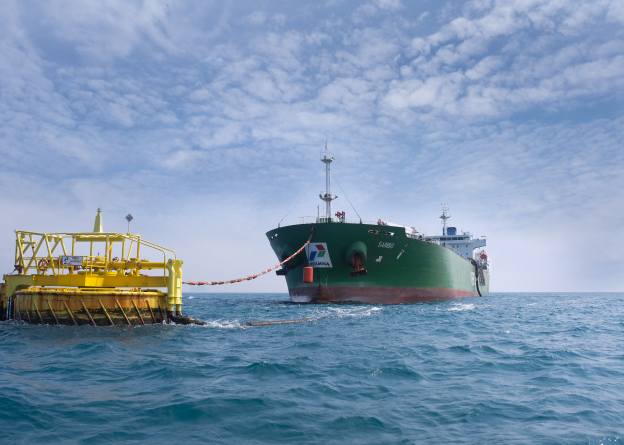
RTK GPS, hydrographic sensors, multibeam systems and survey vessels give marine and port assignments the positioning accuracy and field confidence they cannot do without.
For clients commissioning infrastructure work in Bangladesh, the value of this topic is practical rather than theoretical. The strongest technical outcomes come from reliable field data, disciplined interpretation and reporting formats that owners, consultants and contractors can act on quickly.
SURVEY2000's positioning in this area is rooted in field execution, multidisciplinary coordination and digital delivery workflows suited to transport, water, port, energy and industrial projects.