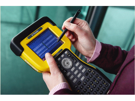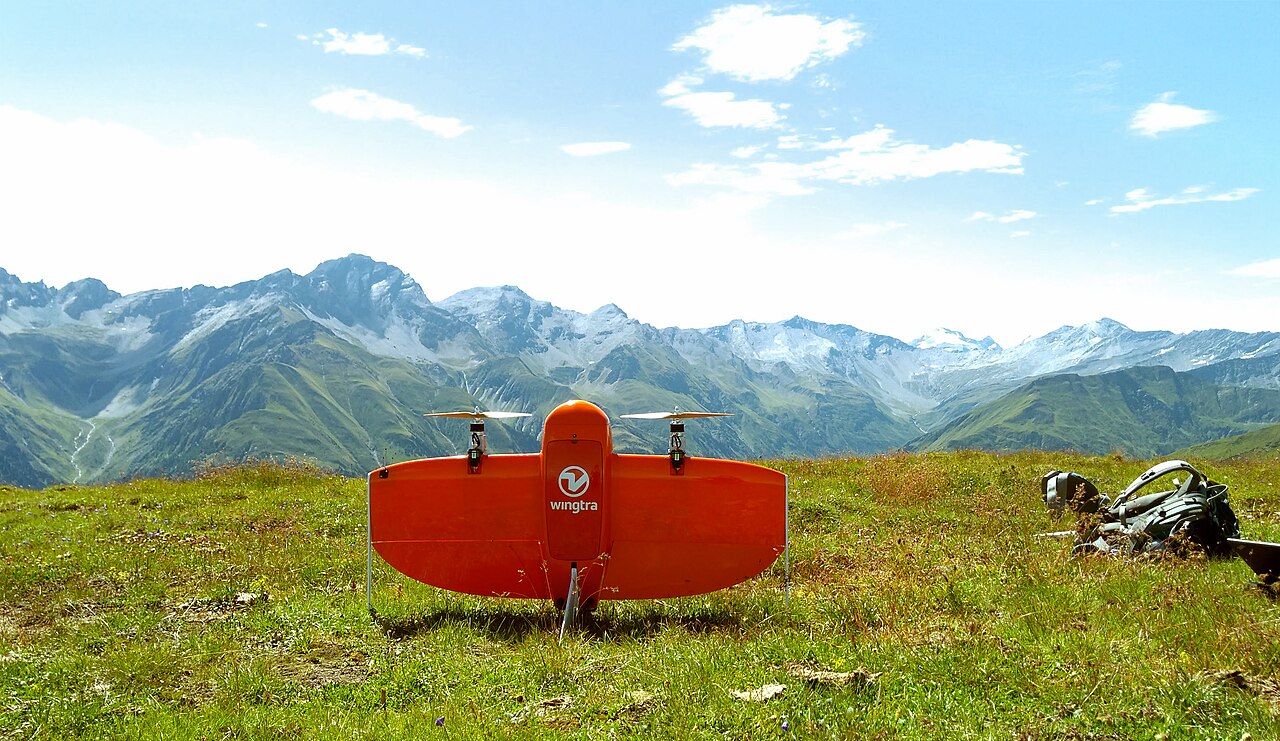

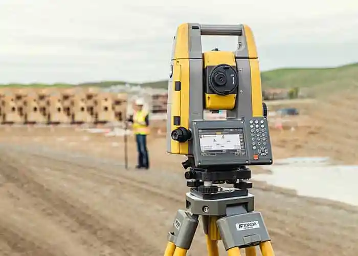
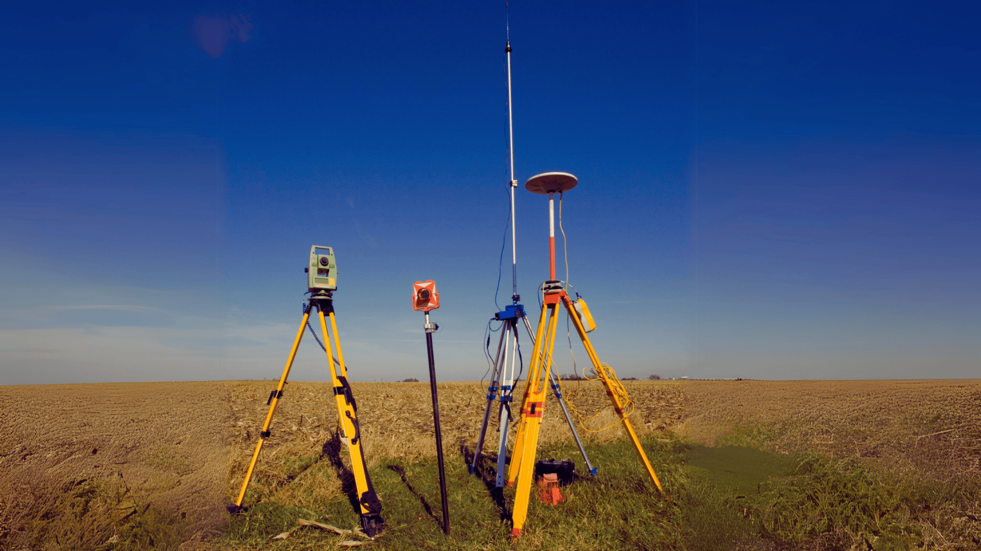
Equipment Detail
10 units
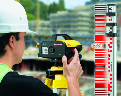
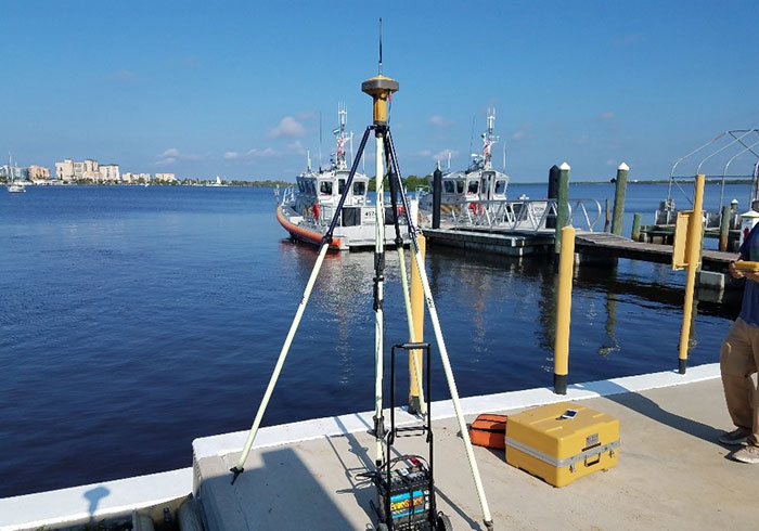
RTK GPS Total Station
Survey-grade RTK GNSS equipment used for real-time positioning and elevation with sub-centimetre field control capability.
Practical Applications
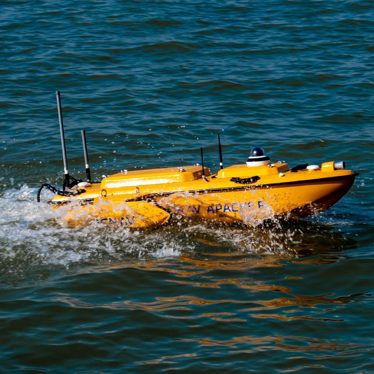
Primary control, corridor survey, GIS mapping, road alignment, transmission route survey and hydrographic positioning support.
Real-time kinematic positioning
Sub-centimetre field accuracy
Suitable for large-area and route-based surveys